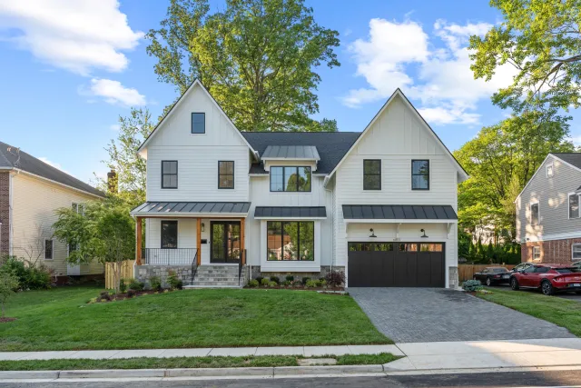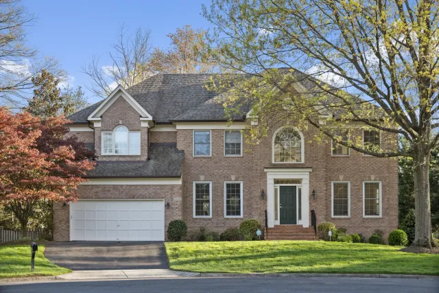
An agent we work with recently asked for aerial shots of a gorgeous corner listing in Clarendon. Great house, great light, perfect candidate — and the answer was no. Not “no, it’s too expensive” or “no, the weather’s bad.” No, as in: flying a drone there is a federal offense.
If you list homes anywhere between Dulles and the Chesapeake, this is the airspace reality you’re working in. Washington DC sits inside the most restricted airspace in the country, and the invisible line that decides whether your listing can get drone photos runs right through our market — through Fairfax County, through Montgomery County, sometimes through a single school district. After thousands of shoots across the DMV, we’ve learned exactly where that line is. Here’s the agent’s version, with no pilot jargon.
Can You Fly a Drone for Real Estate Photos in Washington DC?
For DC proper and the close-in suburbs — Arlington, Alexandria, Bethesda, McLean, Silver Spring, Falls Church — the answer is no. They sit inside the DC Flight Restricted Zone (FRZ), a ring of roughly 13–15 nautical miles (about 15–17 road miles) around Reagan National where drone flight is prohibited without a specific federal waiver that, for marketing shoots, effectively doesn’t get granted. Farther out — Reston, Ashburn, Gaithersburg, Woodbridge — drone photography is fully legal for FAA-certified pilots. The entire question comes down to which side of one circle your listing sits on.
That circle exists because of two nested zones the FAA drew after 9/11, and it helps to know both names, because your photographer should:
- The FRZ (Flight Restricted Zone) — the inner ring, roughly 15 miles around Reagan National. Classified as national defense airspace. Drones are banned without joint FAA/TSA authorization. This is the “no” zone.
- The SFRA (Special Flight Rules Area) — the outer ring, extending to 30 nautical miles (about 34 road miles) from Reagan National. Between the 15- and 30-mile marks, drones can fly: commercial pilots under FAA Part 107 rules, below 400 feet. This is the “yes, with a licensed pilot” zone.
You can read the FAA’s own summary on its DC Area Prohibited & Restricted Airspace page, and the technical boundary definitions live in 14 CFR Part 93. But what you actually need is a map of our market — so here it is.
Which DMV Neighborhoods Can Get Drone Photos?
The short version: inside the Beltway is a no; the outer suburbs are a yes; a handful of towns sit right on the line. The FRZ boundary is drawn from a navigation beacon at Reagan National, not from city borders, so the buckets below are close but approximate — we verify the exact parcel against FAA airspace data before every shoot we quote.
| Zone | What it means for your listing | Areas (approximate) |
|---|---|---|
| Inside the FRZ — no drones | Drone photography is federally prohibited; no legitimate photographer will fly here | All of Washington DC (Georgetown, Capitol Hill, Petworth, the Palisades), Arlington, Alexandria and Old Town, Falls Church, McLean, Tysons, Bethesda, Chevy Chase, Silver Spring, College Park |
| Boundary cases — address-by-address | The line cuts through these areas; one side of town can differ from the other | Vienna, Great Falls, Potomac, Rockville, Fairfax City, Oakton, Burke |
| Outer ring (15–30 mi) — drones fly | Legal for Part 107 pilots below 400 ft; near Dulles a LAANC authorization is added (usually instant) | Reston, Herndon, Chantilly, Centreville, Clifton, Ashburn, Sterling, Leesburg, Gaithersburg, Germantown, Olney, Laurel, Columbia, Bowie, Annapolis, Woodbridge, Manassas |
| Outside the SFRA — normal FAA rules | Standard Part 107 operations, no DC-specific restrictions | Frederick, Winchester, Fredericksburg, Front Royal, most of the Eastern Shore |
Two practical takeaways from that table. First, if a photographer offers to fly a drone at your Bethesda or Arlington listing, that’s not a perk — it’s a red flag that they either don’t know the rules or don’t care, and neither is someone you want on your listing. Second, if your farm area is Loudoun, western Fairfax, or upper Montgomery County, you’re leaving one of the highest-ROI media upgrades on the table if you’re not ordering aerials — one MLS study found listings with aerial images sold 68% faster, and roughly 57% of buyers expect aerial views on larger properties.
Can’t Your Photographer Just Get a Waiver?
For a real estate shoot inside the FRZ: realistically, no — and it’s worth understanding why, because “we’ll get a permit” is a line agents actually hear. The FAA does run an FRZ authorization process, but look at what it involves:
- A Part 107 Remote Pilot Certificate plus commercial aircraft registration — that’s just the entry ticket
- A two-part security vetting: an FAA safety review and a separate TSA security threat assessment
- A minimum of 15 working days of review time (the FAA suggests padding another 7 for weather)
- Approvals capped at 30 days of validity
And then the part that settles it: the FAA states that promotional requests — scenic vistas, marketing photos, virtual tours — are not routinely authorized. The waiver path exists for infrastructure inspection, government work, and newsgathering. It does not exist for making a Kalorama colonial look spectacular on BRIGHT MLS. Across thousands of shoots in this market, we have never seen a routine listing shoot approved inside the FRZ, and we’d be skeptical of anyone who claims otherwise.
The math doesn’t work even in fantasy: your average DMV listing goes under contract in weeks. A permit that takes three-plus weeks to maybe arrive, for a use case the FAA says it doesn’t approve, is not a plan. It’s a stall.
What Happens If Someone Flies Anyway?
This is the section to forward to the seller who says “my nephew has a drone.” Because the FRZ is national defense airspace, the penalties are on a different scale from ordinary drone infractions:
- Civil penalties up to $75,000 per violation — the ceiling was raised by the 2024 FAA Reauthorization Act specifically to deter unauthorized flights
- Criminal liability: knowingly violating national defense airspace is a federal crime under 49 USC § 46307 — up to a year in prison for a first offense
- Immediate seizure: DC-area law enforcement has broad authority to confiscate drones on the spot
- Certificate revocation for licensed pilots — a career-ender for a working photographer
And there’s an agent-specific angle nobody talks about: you hired the vendor. If an unlicensed operator busts the FRZ over your listing, the FAA’s enforcement letter goes to the pilot — but the story, the brokerage compliance headache, and the furious seller are all yours. Vetting that your photographer holds a Part 107 certificate and actually checks airspace is the same category of due diligence as checking a contractor’s license. (We cover the full vetting checklist in our guide to drone photography for real estate agents.)
What About Listings in the Outer Ring?
Between 15 and 30 miles from Reagan National, drone photography is legal and — done right — routine. Three things still have to be true, and a professional handles all of them before wheels-up:
- The pilot flies under Part 107. Commercial drone work (and listing photos are commercial work, even on your own drone) requires the FAA certificate. Our pilots carry it on every shoot.
- The flight stays below 400 feet. Not a limitation in practice — the compelling angles for a house live between 50 and 200 feet anyway. What you want is composition, not altitude.
- Controlled airspace gets a LAANC authorization. Big stretches of the outer ring sit under Dulles and BWI airspace. Licensed pilots request authorization through the FAA’s LAANC system, and approval at normal shooting altitudes is typically instant. It’s a non-issue when your photographer knows the system — and a shoot-killer when they don’t.
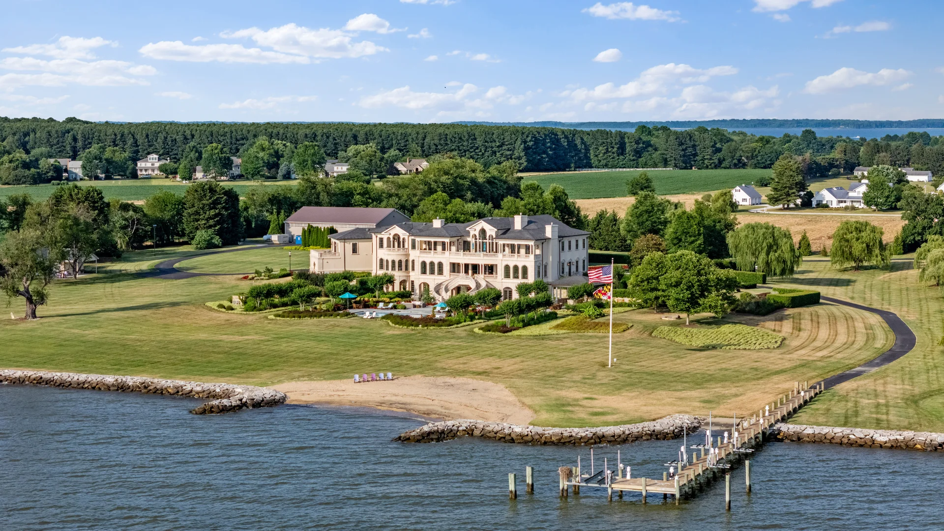
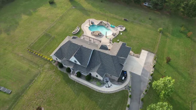
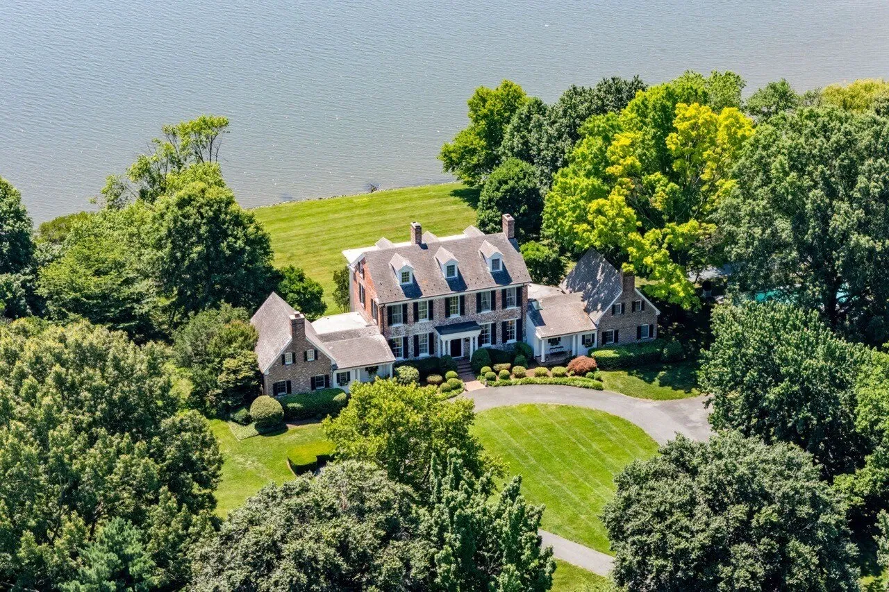
So for that Ashburn new build, the Reston colonial backing to the golf course, or ten acres outside Leesburg: yes, absolutely, order the aerials. On acreage, waterfront, and anything where the lot is the story, drone photos and video do work that ground-level photography physically can’t — you can see current DMV pricing on our pricing page.
Your Listing Is in the FRZ. Now What?
Half our market can’t be droned, and listings there still sell beautifully — because “no drone” doesn’t mean “no wow shot.” What we actually do for FRZ listings:
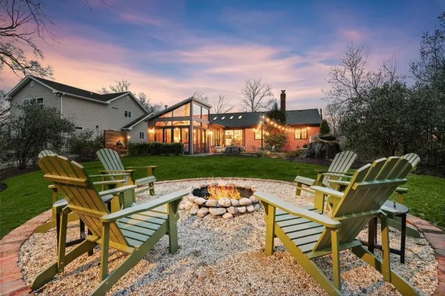
- Twilight exterior photography. For a Capitol Hill rowhouse or a Chevy Chase colonial, a dusk shot with the windows glowing outperforms a midday aerial anyway. It’s the single best hero-image upgrade inside the FRZ — one industry analysis measured twilight-led listings drawing about 76% more views.
- Elevated ground angles. Shooting from upper windows, balconies, and rooflines across the street recovers a surprising amount of “aerial feel” — context, lot lines, streetscape — with zero airspace issues.
- 3D virtual tours and floor plans. Inside the District, the buyer’s question is rarely “what does the roof look like” — it’s layout, light, and flow. A Matterport tour answers it better than an aerial ever would.
- Listing video with gimbal walk-throughs and exterior motion shots that read as premium without leaving the ground.
The honest framing we give agents: aerials are a tool for properties where land, setting, or scale is the selling point. In Georgetown, the selling point is the house and the street. Match the media to the listing and the FRZ stops being a handicap.
How We Handle Airspace on Every DMV Shoot
When you book a shoot with us, the airspace check happens before we ever confirm drone coverage: we run the exact address against FAA airspace data, tell you plainly whether it’s a drone property or an FRZ property, and build the media package that fits. If it’s in the outer ring, our Part 107 pilot files any LAANC authorization and the aerials show up in your gallery next day. If it’s inside the FRZ, we’ll tell you that upfront — never on shoot day — and bring the twilight, tour, and video plan instead.
No permits you’ll never get, no “we’ll figure it out on site,” no risking your listing on a $75,000 fine. Just a straight answer about one weird circle around an airport — and great media either way.